
Gharnata chart (2956)
Riyadh Ghirnatah Dist.
Project Description
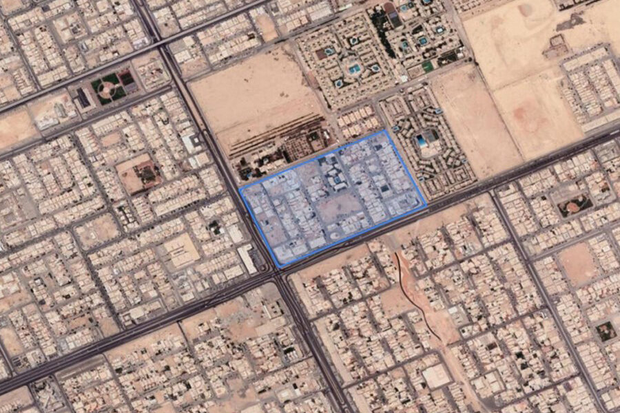
Gharnata chart is located in the northeast of Riyadh city and is characterized by its intersection with Khalid bin Al-Waleed Road (previously known as Inqas Road) and Imam Abdullah bin Saud bin Abdulaziz Road
Project Summary
-
Land sector
 Project Sector
-
Riyadh
 City
City
-
1993
 Establishment Date
-
Ghirnatah Dist.District
-
304.426 m2
Total Area
-
chart
 Project Services
Location
Location : Riyadh , Ghirnatah Dist.
Latitude and Longitude Accuracy
Project Description
-

Number of Units
0
-

Building area
0
-

Land Area
304.426